Why Upskilling with the QGIS Pursuit Course Matters
When it comes to mastering QGIS it is not just about understanding the basics; it’s about leveraging its full capabilities to solve complex spatial problems and deliver professional results. If you’ve recently completed our QGIS Essential Introductory course, you already have a solid foundation in QGIS. But to truly excel, upskilling with the QGIS Pursuit Advanced Course is your next crucial step. Here’s why:
1. Dive Deeper into Advanced Editing Techniques
The QGIS Pursuit Advanced Course takes your skills beyond the essentials, delving into advanced editing techniques. You’ll learn how to refine your editing capabilities and perform intricate data manipulations with precise results.
2. Master the Processing Toolbox
While the basics provide a great start, the Processing Toolbox in QGIS introduces the world of advanced geoprocessing functions. This course introduces you to an array of tools that will allow you to perform common spatial operations, opening the way to reducing repetitive tasks, performing complex analyses, boosting your efficiency and analytical power.
3. Harness the Power of Heatmaps
Understanding and creating heat maps is an impactful way to visualise the spatial distribution of event. In the Pursuit Course, you’ll gain hands-on experience in generating heat maps to identify patterns and trends in your data.
4. Register Raster Images with Precision
Accurate registration of raster images is essential for integrating various types of data and ensuring consistency in your GIS projects. This course provides a practical example of the process, helping you align and integrate raster data seamlessly with vector layers, enhancing your spatial analysis and workflows.
5. Explore Web Services (WFS, WMS)
Web services like Web Feature Services (WFS) and Web Map Services (WMS) are critical for accessing and integrating online spatial data. The Pursuit course covers how to connect to these services, enabling you to pull in external data layers, work with live data feeds, and collaborate more effectively on projects that rely on shared resources.
6. Discover the World of Plugins
QGIS is renowned for its extensibility through plugins. The Pursuit Course will introduce you to a variety of plugins that extend QGIS functionality, from specialised analysis tools to enhanced visualisation options. Learning to navigate and utilise these plugins will allow you to customise your QGIS environment to better meet your specific project needs.
7. Master Database Connections
Connecting to and editing data from databases is a key skill for managing large datasets and working in collaborative environments. This course covers database connections in QGIS, allowing you to directly interact with your data stored in databases, making data management and editing more efficient and effective.
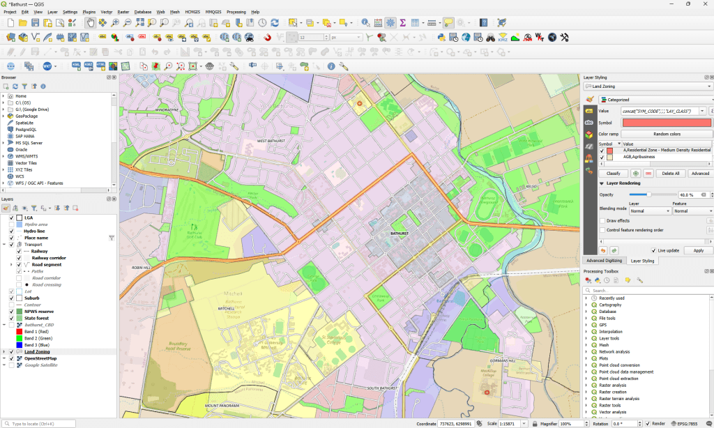
8. Elevate Your Styling and Labelling Skills
Advanced styling and effective labelling techniques can dramatically improve the visual appeal and understanding of your maps by users. The Pursuit course will guide you through methods for styling your data, including custom symbology, complex rendering techniques and data driven labels that enhance map readability and presentation, communicating your data more effectively.
Summary
The QGIS Pursuit Course is designed to build on the essential skills you’ve acquired and push your expertise to the next level. By enrolling in our hands-on, one-day course, you’ll gain advanced skills that are highly valuable in a professional GIS environment. From mastering complex geoprocessing tasks to leveraging advanced styling techniques, Chartis Technology’s course equips you with the tools and knowledge needed to tackle sophisticated spatial projects with confidence and proficiency.
Ready to elevate your QGIS skills? Join us for the QGIS Pursuit Course and unlock the full potential of your mapping and analysis capabilities.

Comments are closed