Smarter Environmental Assessments for Local Government

Environmental assessments don’t need to be slow, inconsistent, or reliant on outdated systems. That’s why we’ve partnered with environmental specialists to develop easyeia—a cloud-based platform that simplifies the Environmental Impact Assessment (EIA) process for local councils and consultants across Australia.
As the technology partner behind easyeia, Chartis Technology brings our expertise in spatial systems and cloud solutions to support a more consistent, efficient approach to environmental assessments.
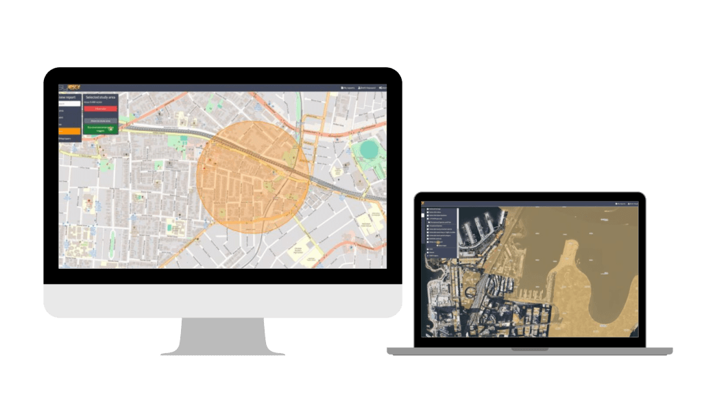
With intuitive map-based tools, users can define an activity area, instantly identify environmental constraints, and generate structured reports to support statutory decision-making. Every search provides a spatial overview and individual constraint maps, along with advice on how to interpret and manage the findings.

Because it’s cloud-based, easyeia doesn’t require integration with internal systems—making it easy to share access with colleagues, consultants, or other stakeholders. All assessments are retained in the system for easy retrieval and reference, ensuring transparency and traceability.
We’re proud to help deliver a system that’s purpose-built for the needs of local government, public agencies and infrastructure providers combining environmental expertise with scalable technology.
Comments are closed